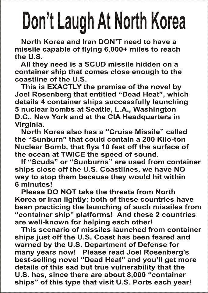
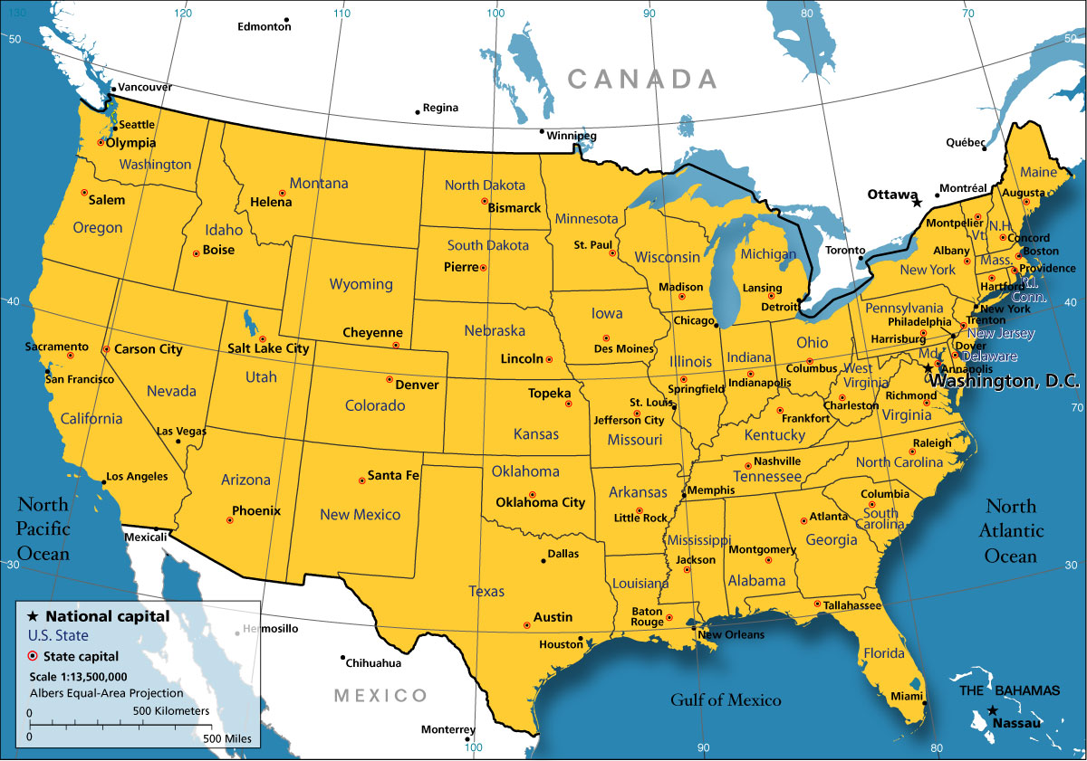
| I ran across this
article over at RITAN tonight which immediately made me
remember this drawing again. If you look at the red
entry areas all are covered that Joel Rosenberg has
talked about with North Korea. With the exception of the
northern part it is right on line with the drawing. The
top of the map would be the Canadian Border would it
not? All could be accessed by water. Notice where the red pendent shaped flag entrance is located....right in the heart of Washington, D.C and New York areas. Still hoping and praying I'm wrong but looks very much like what Joel Rosenberg describes. Attaching Rosenberg article plus a map of USA Brenda |